
Find Dallas Neighbors by Block
Public sources answer different block questions. DCAD connects a parcel to an owner of record, record-labeled mailing and situs addresses, a legal description, and account details. The map shows which lots are adjacent. City records may date an address event. Historical library sources can add a past householder lead. None of those sources prove that every person at a property is a current occupant, so keep each result dated and described by the custodian’s own label.
| Source | What it shows about a block | Access |
|---|---|---|
| DCAD Property Map | Current and prior parcels, adjacent lots, account context, neighborhoods, Dallas block, subdivisions, and other layers | Free map viewer; boundary lines are approximate |
| DCAD appraisal account | Owner, situs and mailing addresses, legal description, values, exemptions, and account history links | Free owner, address, account, business, and map searches |
| Dallas County Clerk deed index | Grantor, grantee, instrument number, legal description, recorded date, and document type | Current Official Public Records portal; historic deed-index books through 1963 |
| Dallas Building Inspection | Permit, certificate, project, applicant or contractor, and address leads | Online records and DallasNow; older material by public-information request |
| Texas voter routes | Individual registration status and polling-place information, or regulated address fields in a full-file request | Individual lookup or affidavit-based request; confidentiality rules apply |
| Dallas history collections | Past address-to-householder, newspaper, map, yearbook, or neighborhood context | Dallas Public Library reading room, microfilm, and selected online collections |
For Dallas neighbors, the sensible output is a bounded set of parcels, public owners of record where shown, and dated source notes. An owner field or a tax mailing address should never be converted into an unsupported claim about who is physically present.
Define a Dallas Neighbor Radius
“Neighbor” needs a reproducible meaning before any block search begins. Start with the target parcel, then stop at a shared boundary, block face, alley, cross street, subdivision edge, or map boundary. Record which side is being studied, the direction from the target, and each account number. A ZIP label or a Dallas mailing city is too broad for this purpose, because postal and city limits can differ from a parcel boundary.
DCAD’s map has current parcels, the prior five years of parcels, neighborhoods, MAPSCO grid, Dallas block, abstracts, subdivisions, and district layers. That range makes it possible to retain the exact geographic method used. It also prevents a reader from guessing whether “nearby” meant the next lot, the entire block face, or a much larger neighborhood.
Note: Keep the target account, each adjoining account, the map layer, and the date checked together so the same small Dallas area can be verified later.
Map Dallas Neighbors Parcel by Parcel
The DCAD map is the practical starting point for a narrow block question. It can search by a 17-digit account, property address, owner name entered as “Last First” without a comma, or the first part of a DBA. Parcel Identify Current Year can return account, location, owner, mailing address, and certified or proposed value. When a location has multiple accounts, use the popup’s Next control and retain every account as a separate result.
- Find the known address in DCAD Property Map and identify the target parcel. Copy its account number and legal description.
- Choose the current-parcel or Dallas-block context, then select each lot that shares the boundary or belongs to the chosen block face.
- Open each parcel detail, keeping the owner, situs address, mailing address, and source date as separate labeled facts.
- For a transfer question, search the owner or legal description in the County Clerk index and compare the deed’s instrument number, grantor, grantee, and date.
- Stop at the boundary set at the start. Add city or library material only when it answers a specific address question.
The DCAD Property Map help describes the parcel-identification tools used for this Dallas neighbors workflow.
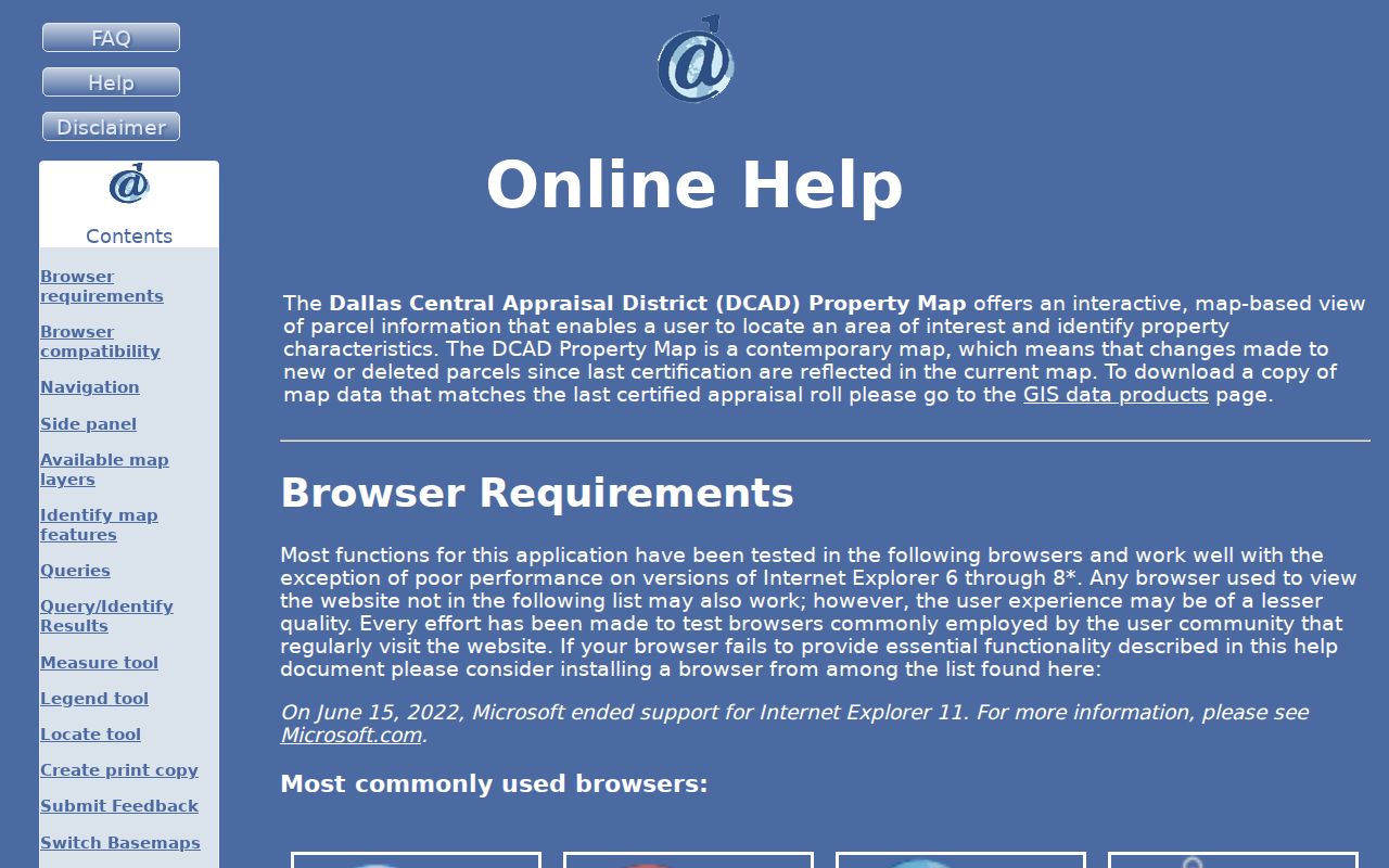
The map supports identify, parcel identify, measure, layers, legend, print, and Find tools. Measure reports square feet or acres, and a print includes a north arrow and scale bar, but the map’s approximate boundaries are not a survey.
Read Dallas Parcel Labels Carefully
DCAD’s account detail can show an owner name, mailing address, situs or property address, legal description, values, exemptions, taxing jurisdictions, and account-history links. A homestead exemption can be an owner-occupancy clue, but it is not conclusive proof of present residence. The situs address identifies the parcel’s physical location. The mailing address is where notices go and may be somewhere else.
- Parcel
- A mapped tax or account unit. One address can have multiple accounts.
- Situs address
- The physical address DCAD assigns to land or an improvement.
- Mailing address
- The notice-delivery address recorded by the custodian, which can differ from the situs.
- Legal description
- The lot, block, tract, abstract, or subdivision language that anchors a parcel across address changes.
- Plat
- Recorded map material that explains how lots, blocks, streets, and tracts relate.
Use the exact label from the page. Do not publish a private owner’s mailing address as if it were a confirmed home address. A parcel card locates public property information; it does not identify all Dallas neighbors who may be there.
Dallas Neighbors and City Records
City address records can explain activity on a parcel without creating a household list. Dallas Building Inspection offers permit-number and address searching, monthly certificate-of-occupancy reports, and permit reports by year. The newer DallasNow system combines permitting, planning, platting, inspections, and engineering. A result can connect a project to an applicant, contractor, architect, owner, or street address, but none of those roles alone establishes a resident.
Older plans and site-plan material go through the city’s written Open Records process. Code concerns go through 311 and geographic district offices; the research did not find a general public code-case search inventory. For block research, a permit, certificate, code contact, or plat belongs in a dated address ledger beside the parcel account, not in a claim about a person.
For the full chain along a named road, the Dallas street directory follows the address-to-owner-to-deed sequence in more detail.
Dallas Voter Records by Block
The Texas Secretary of State’s voter-information lookup is intended for checking an individual registration. Depending on the route, it uses a VUID, Texas driver-license information supplied at registration, or first and last name with date of birth, county, and other confirmation details. It returns registration status and polling-place information when a match is found, not a public block roster and not a record of ballot choices.
SOS Form 24-1 is different. It is a voter-registration data public-information request and affidavit with delivery, filter, fee, and use requirements. Its record layout can include permanent and mailing addresses, precinct, status, registration date, and participation-history codes. Texas Election Code sections 13.004 and 18.005 protect Social Security, driver-license, DPS ID, and related identifiers. Protected voters and Address Confidentiality Program participants may not have ordinary address details available.
Use an individual route only for a narrow, lawful purpose, and do not infer beliefs or ballot choices from a participation code. A missing record can reflect confidentiality, list maintenance, an address change, or a form of search mismatch.
Dallas Neighborhood Map Contacts
Community context is a separate layer from a parcel record. Dallas Planning and Urban Design’s zoning-resources page includes map tabs for zoning and cases, homeowners associations, neighborhood associations, and coalitions. The research did not locate a current public, complete association-roster directory, so the map is the supported starting point for identifying the relevant local group rather than a reason to guess a group name or a membership list.
| Dallas community resource | Map or contact route | What the researched source supports |
|---|---|---|
| Planning and Urban Design zoning resources | City map page | HOA, neighborhood-association, coalition, zoning, and case map tabs |
| Dallas Public Library History & Archives | History collections route | Directories, newspapers, maps, yearbooks, oral histories, and neighborhood manuscripts for historical context |
| Dallas Historical Society / Dealey Library | Collections and research-access page | Photographs, documents, artifacts, books, and periodicals about Dallas and Dallas County history |
The Dallas neighborhood map resource is shown below for the city-managed map categories.
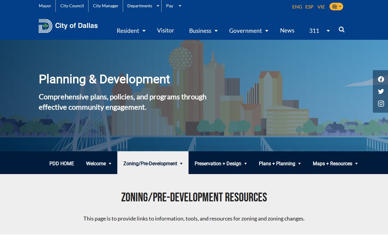
Use a map category to locate the appropriate community context, then confirm any contact information with the organization itself. A map layer or archive mention is not proof that a person currently belongs to a group or lives on the block.
Dallas Neighbors Across Time
Dallas blocks change through replats, parcel splits, recombinations, new construction, and changes in street or building use. DCAD supplies prior-year parcel layers for the last five years and notes 2026 aerial imagery in the current map materials. The map’s layered view is useful for noticing a change, but it does not replace the certified GIS product, a deed legal description, or a recorded plat when the boundary itself matters.
This is also a local map quirk: current parcels, prior parcels, Dallas block, neighborhoods, abstracts, subdivisions, and other layers do not all identify at once. Only one identify layer can be active. Capture the layer used before moving to the next one, then compare the result with the legal description and source date.
For a longer historical trail, Dallas Public Library’s criss-cross directories, Sanborn maps, newspapers, yearbooks, oral histories, and neighborhood manuscripts can place an address in its earlier setting. Those records are leads that need a date and a second source before they are attached to a household.
Dallas Neighbor Source Differences
Official custodial records and commercial neighbor-search categories serve different purposes. A custodian identifies its record, coverage, date, fields, and correction path. A commercial category may combine public material with older address and marketing data, leaving its source date or matching method unclear. When a result conflicts, start with the parcel, clerk, city, or elections custodian that created the underlying record.
| Source category | Best use for Dallas neighbors | Limits and verification |
|---|---|---|
| Official parcel, deed, permit, voter, and archive sources | Check a named record, parcel relationship, legal description, dated address event, or historical context | Each source has its own access rule and may omit protected or nonpublic information; verify with the custodian |
| Commercial neighbor-search category | At most, a prompt to return to an original public source | May merge stale, mismatched, or marketing data; do not treat it as proof of residence or membership |
Texas public-record requests also have a defined route under the Texas Public Information Act. A targeted request should name the city or county department, the address or record group, and a date span, rather than request everything connected to a block.
Dallas Neighbor Privacy Limits
A Dallas neighbors search cannot reveal every person connected to a property. Parcel owners, mailing addresses, project contacts, historical directory entries, and voter records are not interchangeable. Records can be dated, incomplete, protected, sealed, or limited to a particular purpose. Motor-vehicle data is restricted, and a withheld public address may be deliberate rather than a clerical gap.
Texas Address Confidentiality Program participants may use a substitute mailing address and mail forwarding. Protected voters also have confidentiality mechanisms. Remove sensitive identifiers from any notes and never reconstruct a protected location from fragments. If an official page exposes information that appears improperly released, stop copying it and notify the custodian.
Lawful use. Dallas block and parcel research can support personal, family-history, property, and civic questions. Do not use it to stalk, harass, intimidate, or harm another person.